
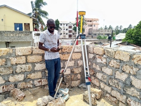
Geo-coding was central to the inception process, enabling accurate spatial analysis and guiding investment planning. Experts conducted extensive fieldwork and ground truthing across six informal settlements to validate geospatial data and record coordinates of proposed public spaces. This ensured accuracy and relevance in planning.
The mapping exercise created a clear framework for visualizing settlement layouts and pinpointing priority investment areas. Maps highlighted project distribution, accessibility, and integration with existing infrastructure, supporting equitable development. Using advanced geospatial tools, the team assessed feasibility, community alignment, and infrastructure gaps, generating insights for strategic decision-making.
A critical step was verifying land ownership. GIS mapping and ground checks confirmed all proposed sites were on public land, eliminating risks of disputes and ensuring long-term sustainability. The resulting maps not only illustrated priority areas, infrastructure links, and access routes but also provided a visual complement to the written analysis. This process enhanced planning, minimized conflict, and supported smooth implementation of the prioritized projects.